 Engineer News Network The ultimate online news and information resource for today’s engineer
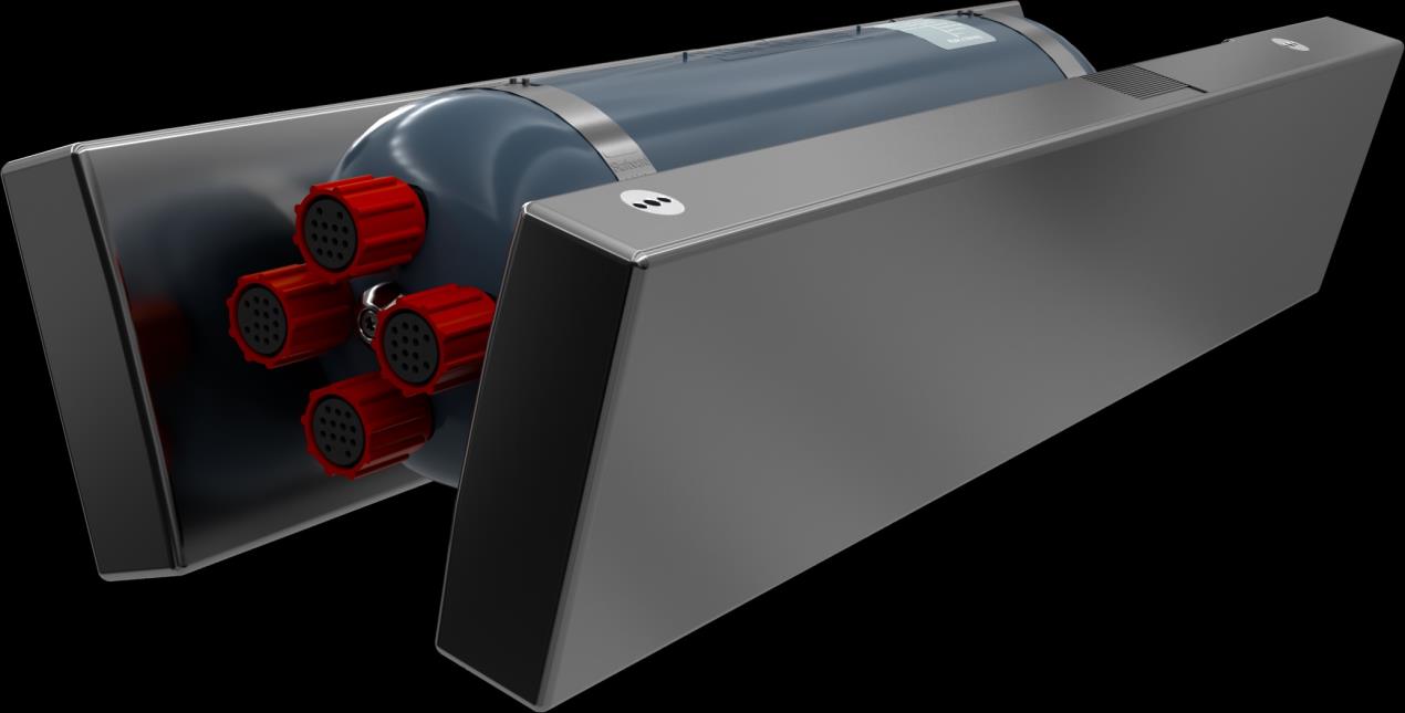
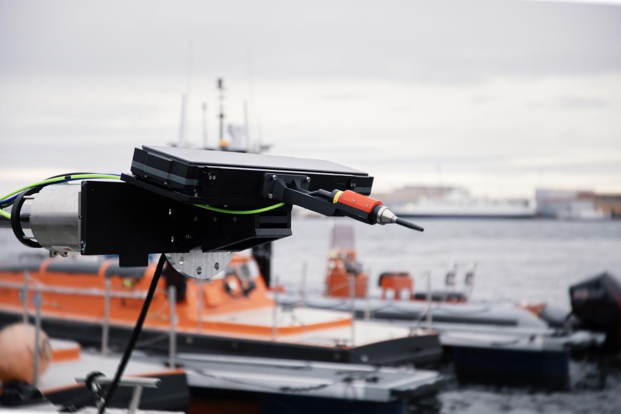
Kongsberg Discovery is opening up access to one of the world’s most advanced underwater imaging technologies, with today’s market launch of the HISAS2020 synthetic aperture sonar.
Previously available exclusively as part of integrated payloads on Kongsberg Discovery’s HUGIN AUV family, HISAS can now be implemented across any platform – including all relevant AUVs, USVs, ROVs and towed assets – delivering crystal-clear, centimetre-level resolution, robust system design for long-term reliability, and real-time data processing. The solution, suitable for a vast array of defence, energy and ocean science applications, will be officially showcased at Oceanology International in London in March.
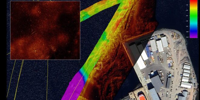
HISAS2020 operates in the 120–210 kHz frequency range, delivering ultra-high-resolution imagery, alongside co-registered bathymetry, in a single pass. A key advantage is its real-time, GPU-enabled processing architecture, allowing data to be processed on the fly, transforming raw acoustic returns into actionable insights during the mission itself, rather than through post-processing onshore. The result is faster decision-making, reduced survey time and increased operational efficiency.
For users, this means seeing more detail, detecting smaller objects, and understanding underwater environments with both greater confidence and speed — whether the task is seabed mapping, surveys of critical underwater infrastructure, or target identification.
Enabling confidence
The flexibility of HISAS2020 makes it relevant across a wide range of high value use cases.
Defence operators benefit from precise seabed awareness for mine countermeasures, harbour protection, search and rescue operations, and overall maritime domain awareness. Energy companies gain improved inspection capability for pipelines, cables and offshore assets, supporting both maintenance and integrity assessments. Ocean scientists and hydrographers can capture highly detailed maps of habitats, archaeological sites and geological features, enabling long-term monitoring and environmental research.